
Neighborhood guides
East Dallas neighborhoods
East Dallas holds some of the oldest neighborhoods in the city, a big lake, and miles of trails. These guides cover the parks, streets, buildings, history, and transit of each area, so you can get to know a place before you visit.
The guides #
Lakewood
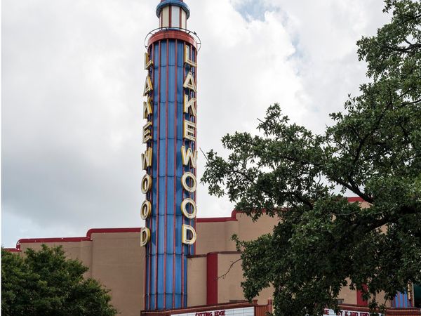
A 1920s development west of White Rock Lake, centered on the Lakewood Shopping Center and the 1938 Lakewood Theater at Gaston Avenue and Abrams Road. Parts of it are in a City conservation district.
Lower Greenville
The southern stretch of Greenville Avenue, lined with shops and restaurants. The side streets have early 1900s houses, duplexes, and small apartment buildings.
M Streets (Greenland Hills)
A 1920s neighborhood east of Central Expressway with one of the largest groups of Tudor Revival homes in Texas, on streets like McCommas, Mercedes, and Monticello.
Junius Heights
A streetcar suburb from 1906 and now a large City landmark district, full of Craftsman bungalows, Folk Victorian cottages, and Prairie homes.
Swiss Avenue
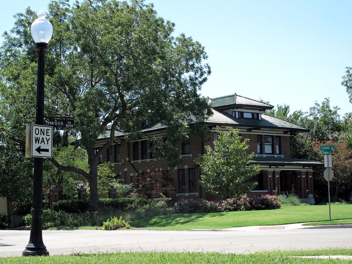
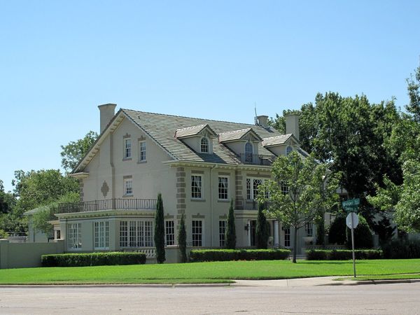
The first historic district in Dallas, with about 200 large early 1900s homes and landscaped parkways.
Old East Dallas
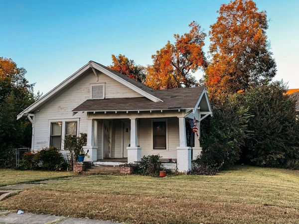
Once its own town, joined to Dallas in 1890. Victorian and Prairie homes, 1920s apartment buildings, and three Green Line stations.
White Rock
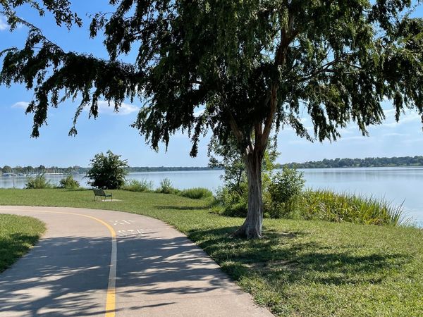
The area around White Rock Lake Park, with its 9.33-mile loop trail, the Dallas Arboretum, the Bath House Cultural Center, and two Blue Line stations near the north end.
Casa Linda
A neighborhood laid out in the late 1930s on the east side of the lake, with the 1945 Spanish Revival Casa Linda Plaza.
How we write these guides #
- We describe places, not people. Our guides cover parks, streets, buildings, history, and transit. They never say who a neighborhood is "for." Read our fair housing policy.
- We use official sources. Facts come from the City of Dallas, Dallas Park and Recreation, DART, the Texas Historical Commission, the Handbook of Texas, and similar sources. Things like bus routes and park hours change, so check the official source before you rely on them.
- We don't rate schools. Schools are assigned by address. To see the Dallas ISD schools for any home, enter its address in the Dallas ISD School Finder.
Getting around East Dallas on DART #
Rail stations that serve East Dallas:
| Station | Lines | Where |
|---|---|---|
| Baylor University Medical Center | Green | 2900 Junius Street |
| Deep Ellum | Green | 450 N. Good-Latimer Expressway |
| Fair Park | Green | 3710 Parry Avenue |
| Cityplace/Uptown | Red, Blue, Orange | 2711 N. Haskell Avenue |
| SMU/Mockingbird | Red, Blue, Orange | 5465 E. Mockingbird Lane |
| White Rock | Blue | 7333 E. Northwest Highway |
| Lake Highlands | Blue | 9393 Whistle Stop Place |
Fares. As of October 2026, a DART Local 3-Hour Pass is $3, a Local Day Pass is $6, and a Local 31-Day Pass is $126. Local passes work on DART buses, DART trains, and GoLink. On GoLink, the pass must be in the GoPass app or on a GoPass Tap card. You can pay with the GoPass app or a GoPass Tap card. Ticket machines on every rail platform take cash and cards. Check DART's fares page for current prices and reduced fares.
GoLink. GoLink is DART's on-demand ride service inside set zones, each linked to a rail station or transit center. In most zones it runs from 5 a.m. to midnight, seven days a week. You book in the GoPass app. Zone maps are in the app and on dart.org.
Buses. DART redesigned its bus network in January 2022. Each guide lists the routes on its main streets as of October 2026. Routes change, so check dart.org before you ride.
Historic districts and conservation districts #
Many East Dallas homes are in special City districts. If you rent in one, ask your landlord before you change anything outside the home.
- Landmark (historic) districts: Swiss Avenue, Munger Place, Peak's Suburban Addition, the Wilson Block, and Junius Heights. The City requires a Certificate of Appropriateness before work begins on a property.
- Conservation districts: Lakewood, the M Streets, M Streets East, Vickery Place, and Belmont Addition. Exterior changes, demolition, and new building need a review by City staff.
- Neighborhood Stabilization Overlay: Casa Linda Estates. This overlay can set rules for setbacks, garages, and height, but not for style.
Flood maps #
Some homes near creeks and the lake may be in mapped flood zones. You can check any address on FEMA's Flood Map Service Center.
Ready to look? #
Browse the homes for rent. Each home's page shows its neighborhood, its rent and terms, and whether it is a lease or a short stay. Before you apply for a lease, read how to rent a home here.
Was this page helpful?
Your answer is sent to the site team with this page's address. Privacy policy
Photo: "Swiss Miss" by Matthew Rutledge, CC BY 2.0, via Flickr. Cropped; yard sign and curb number removed. Photo: "An old house in Old East Dallas" by Matthew T Rader, CC BY-SA 4.0, via Wikimedia Commons. Cropped; this version is licensed CC BY-SA 4.0. All photo credits